El Capitan Webcam
The webcam is near the Wawona Tunnel/Turtleback Dome area, close to Tunnel View but not the identical overlook. Use it to visually validate nearby Yosemite Valley fog while the Fog Score remains targeted to Tunnel View.

Fog Spotlight
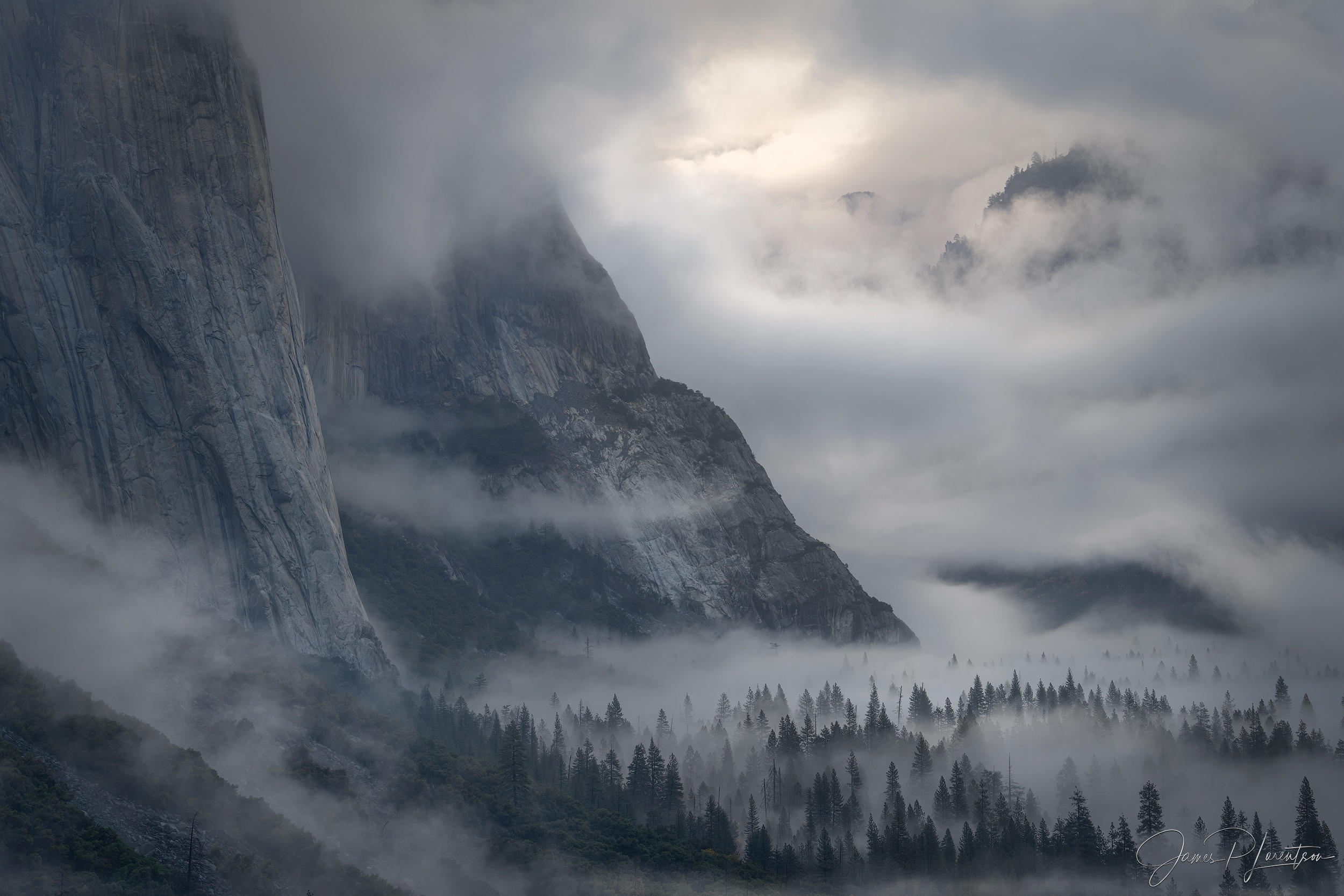
Live fog forecast for the Yosemite Tunnel View perspective, paired with the nearby webcam. Fog-Index helps photographers anticipate when the valley will fill with atmosphere, depth, and separation.

Terrain creates the setup. Fog-Index scores the morning.
Location logic
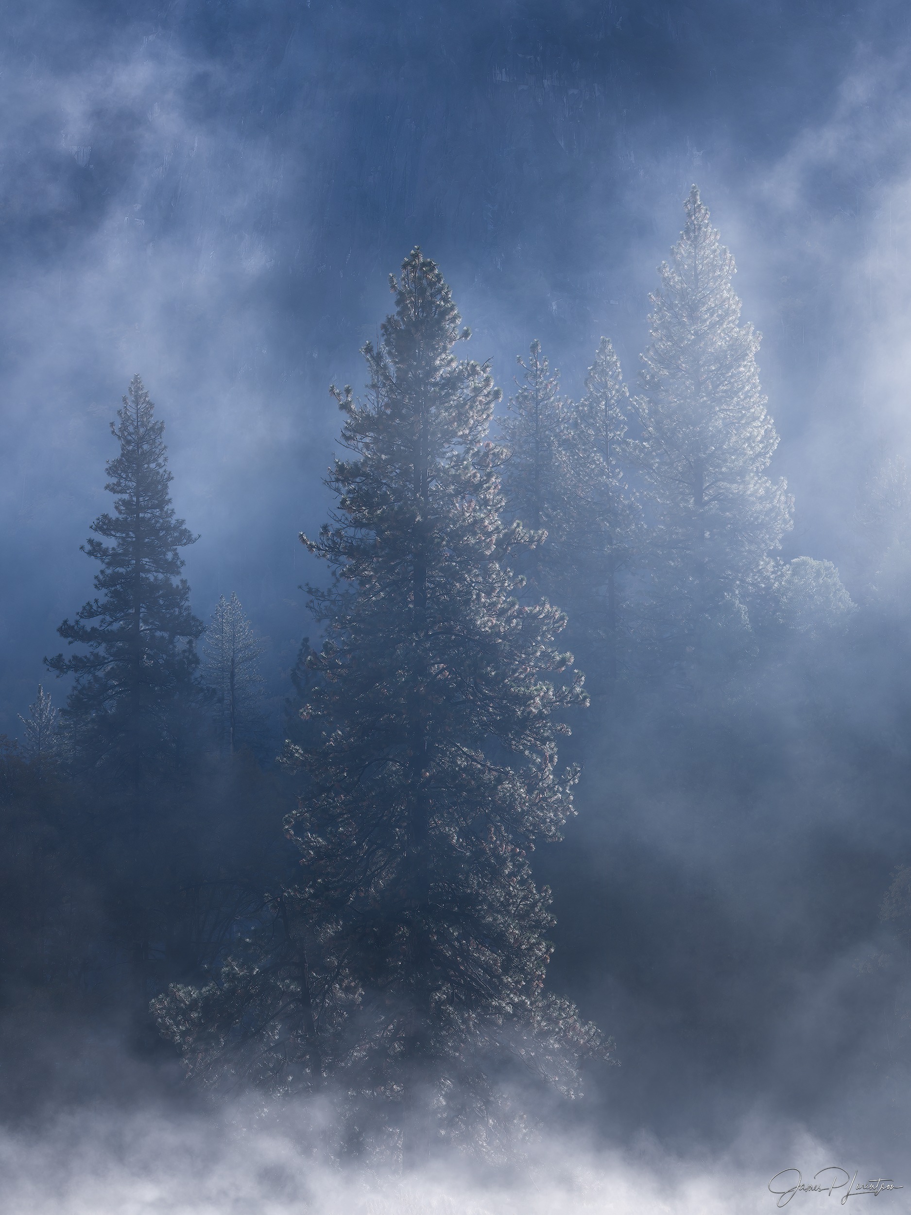
Valley geometry traps overnight cooling and often creates layered morning fog below granite walls.
Best season
Late fall through spring
Forecast target
Tunnel View, Yosemite
Terrain mode
ridge
Elevation
4,232 ft ASL
Fog seasonality
The live forecast answers whether the selected sunrise looks promising. Seasonality zooms out, using a rolling 10-year history of sunrise conditions to show when this location tends to produce its strongest fog setups.
Live validation
Use the live view as a reality check while keeping the forecast target anchored to Tunnel View, Yosemite.
The webcam is near the Wawona Tunnel/Turtleback Dome area, close to Tunnel View but not the identical overlook. Use it to visually validate nearby Yosemite Valley fog while the Fog Score remains targeted to Tunnel View.
Map preview
A focused high-resolution grid preview showing where the selected sunrise signal is strongest around Yosemite Valley, Tunnel View, and the nearby webcam area.
The blue marker carries the exact viewpoint score from above; the surrounding cells come from the regional grid, so they can differ.
Waiting for map data
Forecast logic
Fog-Index scores the sunrise window from saturation, wind, cloud cover, wetness, terrain, and source confirmation. Tunnel View, Yosemite is evaluated as a ridge target, so the model weighs the local terrain setup.
Forecast logic is loading
The supporting model drivers will appear after the public forecast API responds.
Track this viewpoint
Save this exact viewpoint, get sunrise-window fog alerts, and decide whether the early drive is worth it before you commit to a Yosemite morning shoot.
Save the viewpoint and get alerts when the next morning is worth watching.
See the score plus whether external fog forecasts and advisories agree.
Review humidity, DPD, wind, cloud prep, wetness, visibility, and trend data.
Scan the local footprint instead of relying on a single point forecast.
Use longer-range patterns to plan workshops, scouting trips, and repeat visits.
Compare recent forecasts against what actually happened and tune your trust.
Built for photographers
Fog-Index is built by James Lorentson, a landscape photographer who leads Yosemite photography workshops in spring and fall. This page is part of an ongoing effort to make sunrise fog planning more transparent for photographers who care deeply about the Valley.